← Atlas
LAND USE
 SOURCE
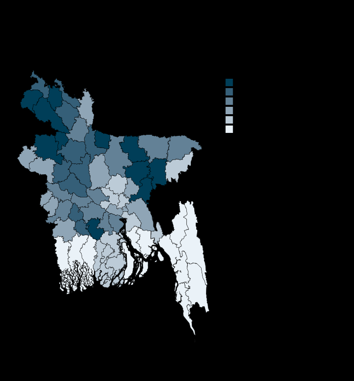
Nearly half the country is cropland, and three-quarters of Naogaon
74.5
Highest · Naogaon
1.7
Lowest · Bandarban
64/64
Districts with a value
Per cent of land area
Unit
Derived in-repo from Google Earth Engine district aggregations; ESA WorldCover 2021, 10 m
Each plate is a standalone SVG, drawn at publication scale. Open the file.
MORE IN LAND AND WATER